
Casselberry Neighbors by Public Source
Each source answers a different block question. The appraisal map gives a reproducible parcel list, while the tax roll identifies owners and notice addresses. Deeds document transfers. The voter system has strict access and use rules, and the public self-lookup cannot browse a block. Community pages show public officers or activities, not every member or resident.
| Block source | What it shows nearby | Access route |
|---|---|---|
| SCPA CurrentView parcel query | Parcel owners, situs and mailing addresses, legal descriptions, assessments | Free public GIS; no login stated |
| CurrentView building query | Building records in the visible map area | Free appraisal map |
| CurrentView sales query | Recent appraisal and sale context in view | Free appraisal map |
| County GIS layers | Roads, city limits, flood, zoning, utilities, schools, and districts | Information Kiosk and downloads |
| Lawful voter-file request | Potential electors by address, subject to exemptions | Request to Elections; restricted uses |
| Clerk deeds and plats | Title history and subdivision lot/block | Web index; pre-1983 staff fallback |
| Community contacts | Public officers and participation routes, not private rosters | City, county, or organization pages |
An owner is not automatically an occupant. Compare the physical, or situs, address with the owner's mailing address and homestead status. Those fields can support a careful inference, but they cannot identify renters, children, guests, or every person who lives nearby.
Map a Casselberry Neighbor Block
The Seminole County Public Appraisal Map has a documented CurrentView method. It uses the map extent already on screen, so the researcher defines the block by zooming. No official guide reviewed promises a buffer or radius tool, so use only the named functions.
- Search the target street address and zoom until the surrounding parcel polygons are clear.
- Run “Quick: Parcel Search (CurrentView)” to return parcels in that visible area.
- Open each parcel result and record owner, mailing address, situs, parcel ID, and legal description.
- Run the building or sales CurrentView query only when those comparisons help.
- Zoom tighter and rerun if the result extends beyond the immediate block.
Address → map extent → parcel list → appraisal records → deed or civic context is the basic flow. For every parcel along an entire named road, switch to the Casselberry street directory workflow.
Test Casselberry Neighbor Occupancy
The Property Appraiser quick search accepts an owner, parcel number, street name, full address, facility name, or subdivision name. Its parcel details separate owner mailing address from the property address. The office also offers daily parcel CSV data, GIS downloads, mailing-label functions, and help creating an HOA homeowner list.
A matching mailing and situs address, combined with homestead, is evidence that an owner claims the parcel as a main home. It is not proof of day-to-day presence or a complete household. A different mailing address may suggest an absentee owner. It still does not disclose who occupies the property.
Note: Date the parcel record because ownership, mailing choices, exemptions, and sales update on different schedules.
Casselberry Neighbor GIS Layers
Seminole County GIS advertises more than 300 layers and both historic and current aerial photography. Useful block context includes parcels, buildings, streets, municipal lines, land use, zoning, flood areas, political districts, schools, and utility districts. These layers describe land and service geography, not private customers.
The city-limit layer matters because a Casselberry mailing label and ZIP 32707 can extend beyond city jurisdiction. Confirm the municipal line before sending a permit or records request. Weekly parcel, address, street, and city-limit downloads are the fallback when the interactive map cannot support the needed comparison.
Aerials can show when a structure, road, or open tract changed. They should never be used to guess who occupied a home.
Casselberry Neighbors and Voter Data
The Seminole My Voter Record form is a secure self-check requiring first name, last name, and birth date. It does not accept a street or show every voter on a block. Florida voter registration information is broadly public, but inspection and copied-data use are controlled by state law.
A lawful block request must go to the Supervisor of Elections and remain within the uses permitted by Florida Statutes section 98.211. Social Security numbers, driver-license or state-ID numbers, signatures, and application-source details are protected. Address Confidentiality Program participants and other protected voters may have addresses withheld. A missing name can also reflect a move, processing delay, cancellation, or spelling difference.
Do not treat voting history as ballot choice. It records participation in an election, never how a person voted.
Casselberry Neighbor Community Contacts
No current official umbrella list of Casselberry neighborhood associations or member directories was found. Do not invent an HOA or assume a private roster is open. Public board officers, registered agents, meeting notices, and organization contact pages can identify a civic route without exposing member households.
Casselberry Archive Center
Search city publications by keyword, category, time period, or date range for public civic names and events.
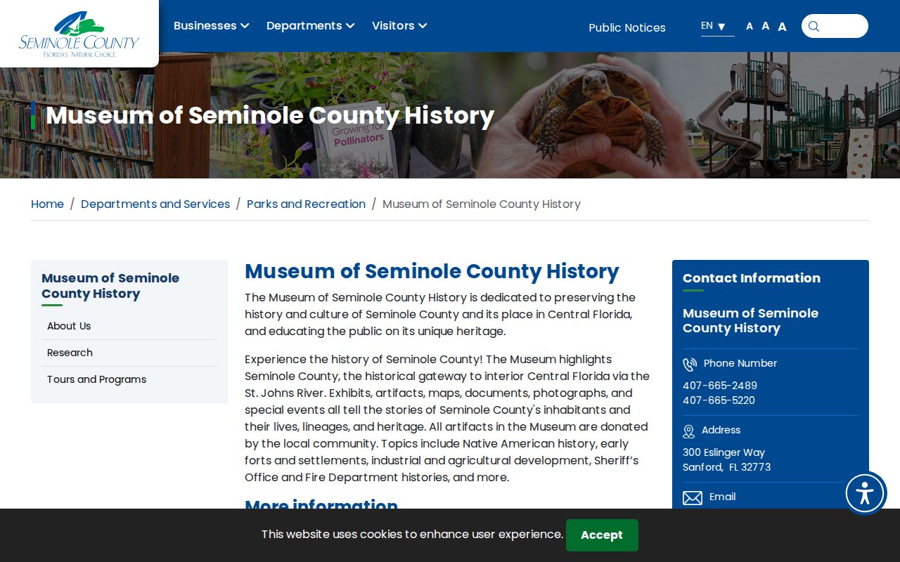
Seminole County History Museum
Ask about local collections that document residents, places, and community groups.
RICHES Mosaic Interface
Search Central Florida history across digitized materials from partner institutions.
The city archive can connect names to boards, awards, newsletters, and neighborhood events. Those references prove a public role in a dated source, not residence at a particular house.
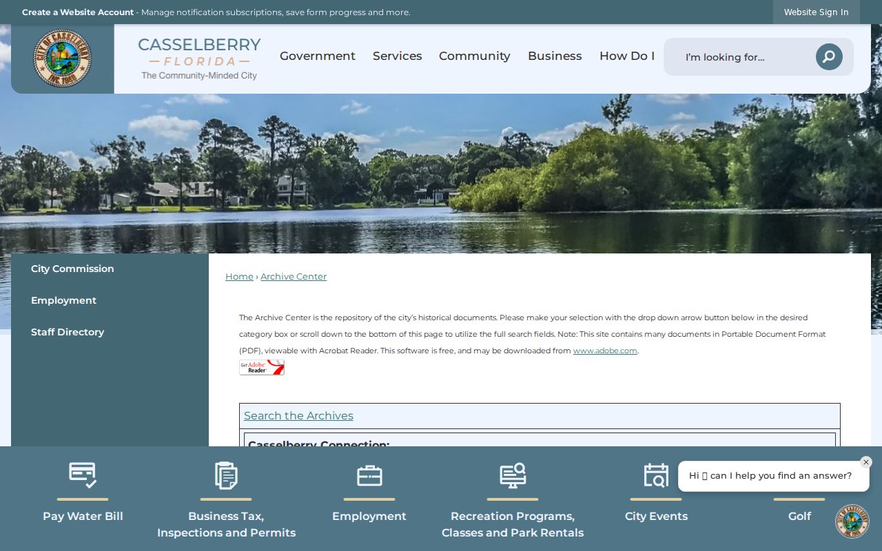
The date and category controls help preserve the context around each name.
Casselberry Neighbor Civic Directories
The city's public business directory searches chamber members by category or business name. A result documents a business connection, not a home address or proof that the owner lives nearby.
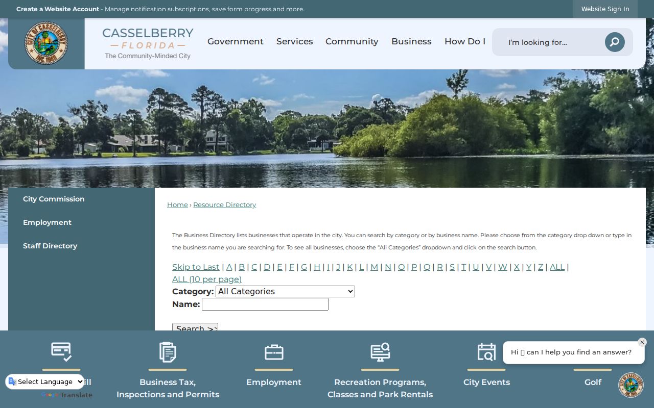
Churches, veterans posts, lodges, and neighborhood-watch groups may keep historical rolls, newsletters, or memorial lists. Ask for permission-cleared historical material. Current member names, emails, gate lists, congregation rosters, and watch contact trees should not be presumed public.
History Around Casselberry Neighbors
Older blocks may be indexed under Lake Concord, Fern Park Estates, Winter Park Ferneries, or broader Orlando-area labels. Evergreen Cemetery and Concord Church offer distinct local anchors, while later subdivisions appear more readily in parcel, permit, and directory records. Search both the legal subdivision and the everyday neighborhood name.
The county history museum provides a route into documents, maps, photographs, and objects tied to Seminole County communities.
Regional material also appears through the RICHES Mosaic Interface.
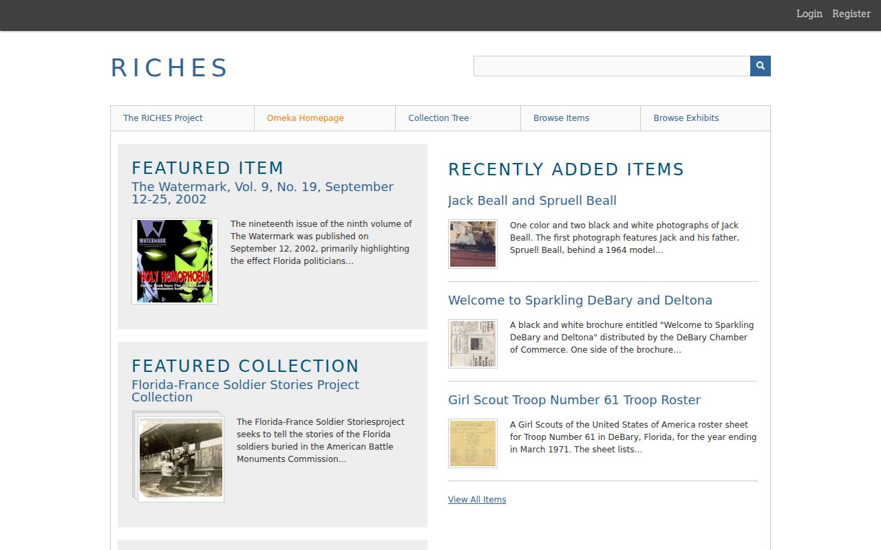
Place and name searches can add a dated community layer without turning historical material into a current neighbor roster.
Casselberry Neighbor Source Comparison
Official rolls and commercial compilation tools answer different questions. Official records identify their custodian, fields, and legal limits. Commercial tools may merge stale public and licensed data, hide the source date, or join same-name people. Treat any commercial result only as a lead back to an official record.
| Source type | Strength | Limit |
|---|---|---|
| Official parcel and deed records | Traceable owner, parcel, and recording data | Do not list every occupant |
| Official civic archives | Dated public roles and events | Not a resident roll |
| Commercial compilations | May suggest a search lead | Can be stale, merged, or unclear |
Privacy for Casselberry Neighbors
A parcel map cannot say who lives next door. Renters, children, guests, household relationships, utility customers, and DMV addresses are absent or restricted. Florida's Address Confidentiality Program and public-record exemptions shield eligible people. A protected address should not be reconstructed from other sources.
Florida law prohibits stalking, cyberstalking, identity misuse, and unauthorized use of voter information. Getting to know a block, checking public ownership, reconnecting, and studying community history are lawful personal purposes. Watching, threatening, or harassing a person is not.
Lawful use. Use Casselberry neighbor records with care, respect protected addresses, and never use them to watch, threaten, harass, or harm anyone.