
Walk a Casselberry Street by Address
A useful street-by-street search moves from the land to the records tied to it. Ownership is public through Seminole County, but an owner name does not identify every occupant. Keep that distinction clear from the first search.
- Enter the full address in the SCPA parcel search. Save the parcel ID, situs address, owner mailing address, subdivision, and legal description.
- Open the appraisal map, zoom to the road, and query the parcels in the current view.
- Compare situs and mailing addresses. A match supports owner occupancy, but does not list a household.
- Search the owner as grantee in Seminole Official Records and match the deed by legal description.
- Add dated permits and, for an earlier year, check a reverse directory for a listed occupant.
This Casselberry street directory method keeps each claim tied to a dated source. It also preserves the legal land description when a street label changes.
Search Casselberry Parcels by Street
The Seminole County Property Appraiser offers a broad quick search. Its single box accepts an owner, parcel number, street name, address, facility name, or subdivision. A street term can return several parcels, so it is well suited to a Casselberry street directory. The office also publishes daily current parcel data.
| Search input | Format | Street use |
|---|---|---|
| Owner | Name | Find parcels tied to one owner |
| Parcel number | Identifier | Open one exact property |
| Street or address | Partial or full text | Build a road-level parcel set |
| Facility or subdivision | Name | Search a complex or platted area |
A parcel result distinguishes the property, or situs, address from the tax mailing address. It also gives the parcel ID, legal description, values, exemptions, taxing authorities, and sales. Homestead is useful evidence, not a roster of Casselberry residents.
The advanced property search is shown below.
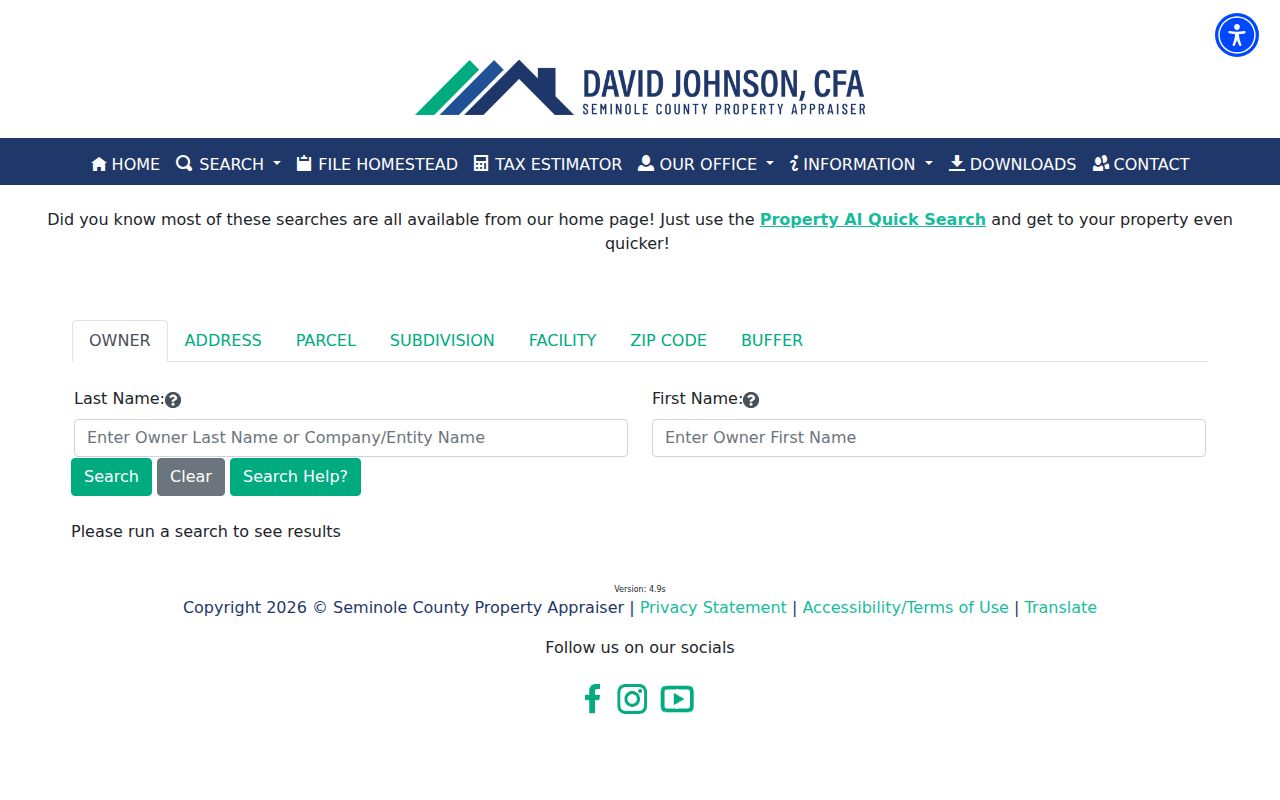
The parcel ID returned here is the bridge to GIS, deeds, permits, and copy requests.
SCPA also offers Real Property Sales Search, Map Search, mailing-label tools, and downloadable appraisal data. A whole-road project may be easier in the parcel CSV or GIS selection than in repeated single-property searches. Keep the data date with any exported list. The office says custom data requests normally take ten business days and may carry processing or labor charges. Staff accept oral or written public-record requests without a set form. Customer service, ownership, and mapping help is available at 407-665-7506, or at 1101 East First Street in Sanford on weekdays from 8 a.m. to 5 p.m.
Map Casselberry Street Parcels
The Seminole County Public Appraisal Map turns one address into a view of the block. Its global box takes an address, parcel, owner, or subdivision. CurrentView queries return parcels, buildings, or sales inside the visible map extent. Countywide searches help when a long road goes beyond the screen.
Seminole County GIS advertises more than 300 layers and both current and historic aerial photos. Weekly downloads include parcels, situs points, streets, and city limits. Those layers matter because a Casselberry mailing address and city jurisdiction are not the same fact.
The county GIS overview describes these public layers.
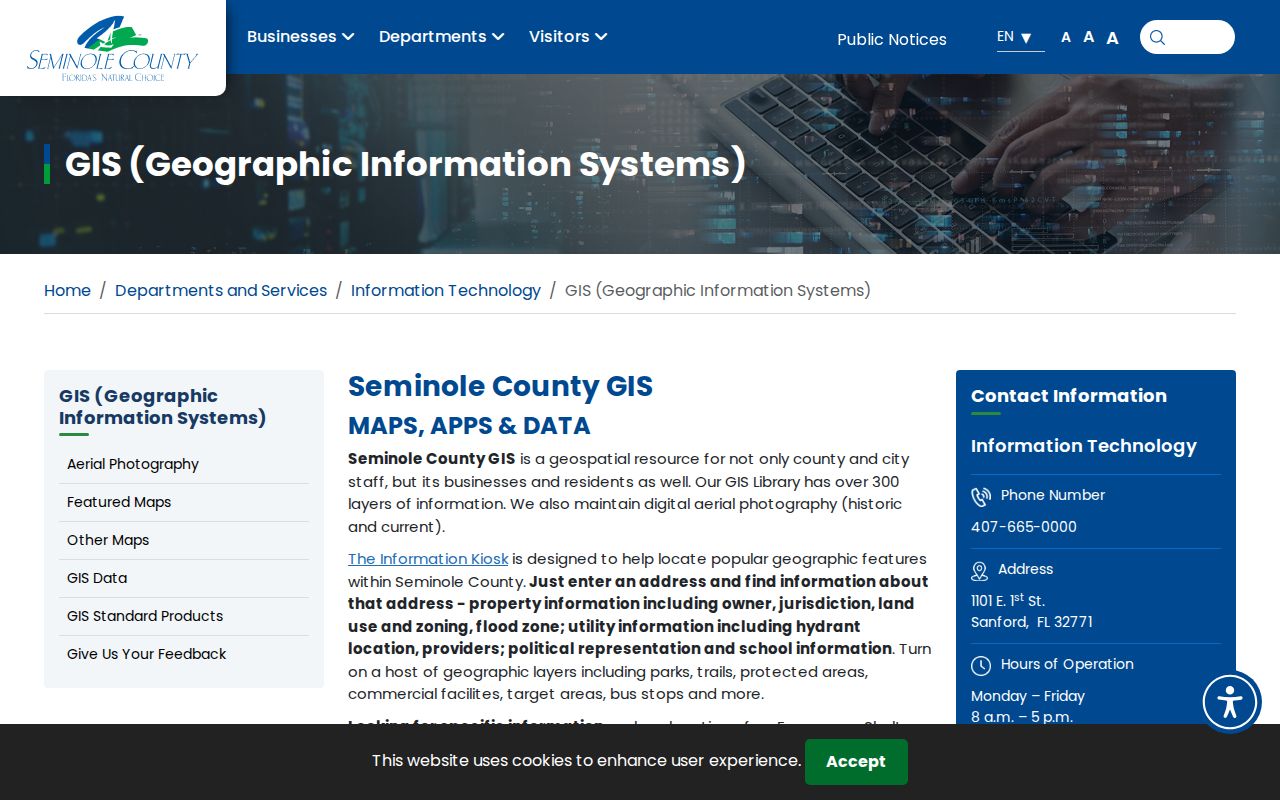
Use the map for geography, then confirm names and rights in the appraisal and Official Records systems.
Casselberry Street Record Coverage
No official source covers every person at an address. The record keepers divide the task by purpose.
| Address record | Keeper | What it shows | Access |
|---|---|---|---|
| Property roll | Seminole Property Appraiser | Owner, situs, mailing address, parcel, exemptions | Web, download, phone, office |
| Parcel map | SCPA and county GIS | Adjacent parcels, roads, buildings, sales, city limits | Public viewer and downloads |
| Deeds, liens, plats | Seminole Clerk | Recorded parties, transfers, legal text, images | Index, Records Center, mail, branch |
| Permits | City of Casselberry | Dated work, applicant, contractor, address | CitizenServe or records request |
| Reverse directories | Libraries and archives | Listed subscriber by street and number | Digital, shelf, database, staff |
The parcel ID and legal description are the best join keys. Street spelling links search screens, but recorded land text is more durable.
Casselberry Street Directory Terms
A few short terms prevent major errors in an address search.
- Parcel
- A mapped unit of land with a county identifier.
- Situs address
- The physical location, which may differ from the owner's mailing address.
- Plat
- A recorded map of a subdivision, lots, blocks, roads, and easements.
- Criss-cross directory
- An address-first volume returning a listed subscriber for one year.
Record these fields at each step so the search can be checked and repeated.
Link Casselberry Owners to Deeds
The Seminole County Clerk's Official Records index covers deeds, mortgages, liens, satisfactions, judgments, plats, and more. Search the current owner as grantee, then match the deed to the parcel's legal description. The official guide shows an index date beginning January 1, 1983. Earlier work may require the Records Center.
Results can show parties, instrument type, recording date, file number, book and page, legal text, and consideration. The viewer offers a free noncertified print. Standard copies are $1 per page, certification is $2 per instrument, and eCertification is $5.
For a whole street, append spelling variants or successive owners into one grid. The portal can sort, group, filter, and export. Legal-text searching helps when a common surname creates false matches.
The online image is often enough for research, but a certified copy must come from the Clerk. The Records Center is at 1750 East Lake Mary Boulevard in Sanford. Land Records can be reached at 407-665-4405, and mail goes to the Records Custodian, attention Land Records, P.O. Box 8099, Sanford, Florida 32772. The Clerk also has an East Branch at 376 Wilshire Boulevard in Casselberry. These fallback channels matter when a scan is missing, restricted, or older than the web index. Give staff the file number or book and page when possible.
Casselberry Permits Add Dates
Casselberry CitizenServe covers building permits, business tax receipts, development applications, and code complaints. A permit may name an applicant, contractor, owner, parcel, and work address. It dates work, but does not prove residence.
If an old file is absent online, call Building Services at 407-262-7700 extension 2104 or use the City Clerk. Casselberry accepts public-record requests in person, by phone, mail, email, or writing without a mandatory form. Give the address, date range, department, and permit number when known.
Casselberry Address Boundaries Shift
A Casselberry postal address, the 32707 delivery area, and incorporated city limits are not interchangeable. Use county GIS city-limit and parcel layers to decide jurisdiction. For old deeds, carry the legal description backward because ZIP Codes did not exist before 1963 and street names or numbers can change.
Historic labels widen the search. Sources may use Lake Concord, Fern Park, Fern Park Estates, or Winter Park Ferneries. Casselberry incorporated as a town in 1940, became a city in 1965, and gained its named post office in 1959. Mid-century listings may sit under Fern Park or Orlando.
Read Casselberry Streets in Reverse
A reverse directory starts with the street and house number, then returns the listed subscriber for that edition. Ask library staff for a reverse or criss-cross volume by name. A general city-directory request may produce only a surname section.
Exact Casselberry year coverage is not published in an official catalog. Check Jean Rhein Central Branch, the State Library, and Orlando-area telephone runs under Fern Park and Casselberry. The Casselberry city directory covers the historical shelf in depth.
Limits of Casselberry Street Lookups
Official address records omit many people. Deeds list owners, not each resident. Permits show project roles. Florida voter records protect identification numbers, signatures, application sources, and exempt addresses. My Voter Record is a secure self-lookup, not a public road browser.
Florida's Address Confidentiality Program and public-record exemptions can hide an address. A missing name may also reflect an unlisted phone, recent move, or publication boundary. It is not proof that no one lived there.
Lawful use. Use Casselberry address records only for lawful personal research. Never use a street lookup to stalk, harass, intimidate, or harm anyone.
Commercial tools may merge stale files and hide sources. Official rolls are narrower, but each states its keeper, date, and purpose. Verify key facts with the custodian.
Utility accounts and driver records are not substitutes for an open Casselberry street directory. Nor does a city business tax receipt show that its named party sleeps at the business site. Use parcel ownership for the owner question, a dated reverse volume for a historical subscriber, and a direct conversation for any claim about a current household. That discipline protects both accuracy and privacy.
When two records conflict, prefer the one closest to the fact it was created to document. A recorded deed is strongest for title on its recording date. A parcel card is strongest for the current assessment roll. A permit is strongest for approved work. A directory is strongest for the subscriber printed in that edition. Write down each record date and avoid blending them into one undated claim.
That small source note makes later corrections far easier.